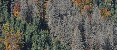
This project aims to develop an innovative system that uses real-time remote sensing to provide crucial information about dynamic processes in forests and their impact on biodiversity. Through continuous monitoring, we aim to enable informed decisions for climate change-responsive forest management and sustainable forest management. Learn more about our research efforts to fill existing knowledge gaps in timely information collection and delivery, providing a solid foundation for evidence-based decision making in society.

News

none

DLR and LRZ present 'Terrabyte': large-scale computing facility for efficient analysis of Earth observation data

none

Research project ROOT: Satellite-based forest monitoring for sustainable forest management


Project Structure

Earth Observation (Künzer)

Task 1.1

Forest canopy cover loss mapping

Task 1.2

Standing deadwood/clear-cut differentiation

Task 1.3

Damage Cause Specification

Task 1.4

Suite of methods and information products available

Software Engineering (Kounev)

Task 2.1

Development of first app protoype

Task 2.2

Further development of app prototype

Task 2.3

Validation of app prototype in terms of detection accuracy and quality

Biodiversity (Müller)

Task 3.1

Biodiversity predicitions from satellite data

Task 3.2

Creating temporally resolved biodiversity map for Bavaria

Task 3.3

Validation of biodiversity map

Software Engineering (Kounev)

Task 4.1

Designing software architecture

Task 4.2

Evaluation of different deployment approaches

Task 4.3

Loss detection software solution

Task 4.4

Developing geoinformation portal for public


TP 5: Communication

Task 5.1

Organization of first workshop

Task 5.2

Evaluation of app usability and organization of second workshop

Task 5.3

Evalu­ation of app usability and organizing transdiciplinary workshop

Task 5.4

Developing geoinformation portal public


[Translate to Englisch:] biodiversity placeholder

Biodiversity

Learn more about the work and the team of the Biodiversity Project Group

[Translate to Englisch:] Fernerkundliche Aufnahme

Remote Sensing

Learn more about the work and the team of the Remote Sensing Project Group

[Translate to Englisch:] computer science placeholder

Computer Science

Learn more about the work and the team of the Computer Science Project Group


supported by