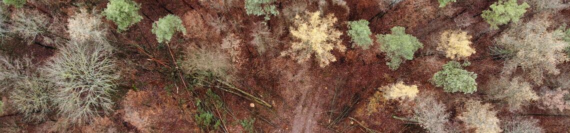
Satellite-based biodiversity monitoring in forests
Satellite-based biodiversity monitoring in forests
Task 1: Extraction of biodiversity relevant parameters from satellite data
- Extraction of variables for biodiversity modeling
- Extraction of current weather data capturing the spatial distribution of macro- and
microclimate conditions in forests
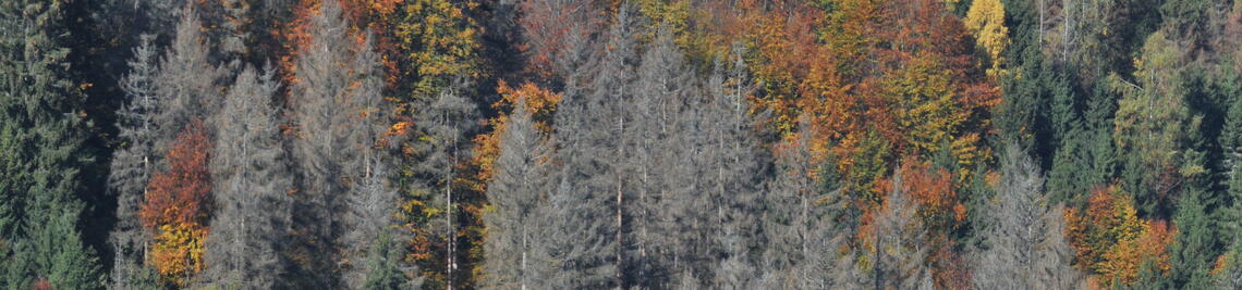
Milestone 1: Building models for predicting different aspects of biodiversity in temperate forests from satellite data
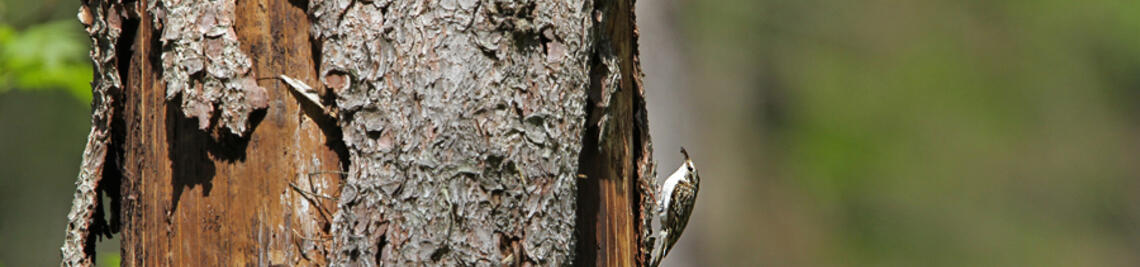
Task 2: Extraction of essential parts of biodiversity in temperate forests
- Area-wide estimation of taxonomic, functional and phylogenetic diversity
- Focus on insects and birds in forests
- Sound recorders for bird detection
- Malaise traps for insect identification through metabarcoding
Milestone 2: Creation of a temporally resolved biodiversity map for all of Bavaria
Task 3: Modeling biodiversity (bird and insect communities)
- Reduction of variables from remote sensing using Okahm's razor principle to explain biodiversity patterns and make predictions
- Use of GAM boost methods from machine learning.
- Predictions for additional areas
Milestone 3: Validate prediction map using new biodiversity data from 2022 and 2023.