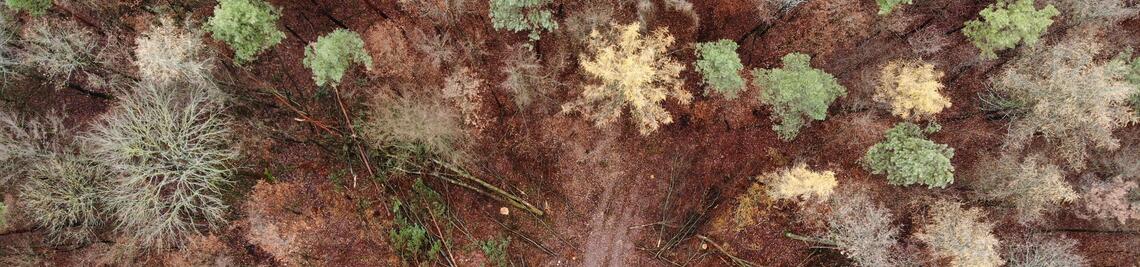
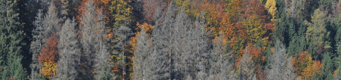
Forest Change Monitoring
Bavaria-wide satellite-based geoinformation products for continuous forest change monitoring
Task 1: Detection of stand losses in the upper stand.
- Develop a method to detect stand losses.
- Achieve bi-weekly resolution
- Improve pre-processing of satellite data
Milestone 1: Method for detecting stand losses in the upper stand at 14-day resolution developed and initial prototype products available for online deployment
Task 2: Differentiation of bare areas and standing deadwood.
- Testing and identification of the suitability of spectral indices
- Thresholding methods and random forest algorithms
- Evaluation of accuracy
Milestone 2: Method for differentiating clearcuts and standing deadwood developed and initial prototype products available for online deployment
Task 3: Damage cause specification.
- Testing of different approaches for the identification of damage causes
- Investigate the suitability of additional parameters for damage cause identification
Milestone 3: Method for damage cause specification developed and first prototypical products for online provision available
Task 4: Preparation
- Compile a set of methods Add documentation
- Prepare for reusability and extensions
Milestone 4: Suite of optimized methods developed and geospatial products in place based on feedback from online delivery workshops